
How to Read an Atlas Mountains Map Before Your Adventure
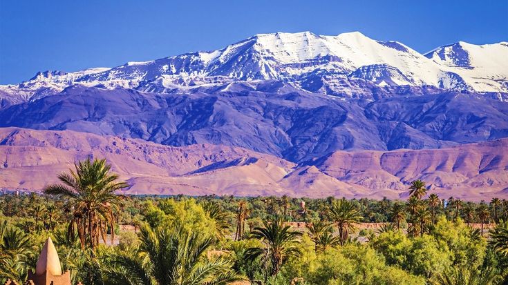
Planning a journey through Morocco’s breathtaking landscapes begins with understanding your route. Whether you are preparing for a day hike, a multi-day trek, or a scenic road trip, knowing how to interpret a reliable Atlas Mountains Map can make your adventure safer and more enjoyable.
A well-read map helps you identify trails, villages, mountain passes, rivers, and elevation changes before you set out, allowing you to travel with confidence.
Instead of relying entirely on GPS or mobile apps, learning basic map-reading skills provides a dependable backup, especially in remote areas where mobile signals may be weak or unavailable.
Why Map Reading Matters
The mountain regions of Morocco offer incredible natural beauty, but they also feature rugged terrain and changing weather conditions. While digital navigation is useful, batteries can die, devices can malfunction, and internet access isn’t always available.
Reading a physical or downloadable map helps you:
- Plan realistic travel routes.
- Estimate hiking times.
- Identify nearby villages and shelters.
- Avoid dangerous terrain.
- Find alternative paths if conditions change.
Good preparation reduces unnecessary risks and helps you enjoy your adventure without unexpected surprises.
Understand the Map Legend First
Before following any route, spend a few minutes reviewing the legend or key. This section explains every symbol used throughout the map.
Common symbols include:
- Hiking trails
- Roads and tracks
- Rivers and streams
- Campsites
- Villages
- Mountain peaks
- Viewpoints
- Forest areas
Knowing these symbols makes it much easier to interpret the information quickly while traveling.
Learn the Scale
One of the most important parts of any Atlas Mountains Map is the scale. It tells you how map distances compare to real-world distances.
For example:
1:25,000 provides excellent detail for hiking.
1:50,000 works well for trekking.
1:100,000 is better suited for driving and regional planning.
Always calculate walking distances using the map scale rather than estimating by sight. Mountain terrain often makes short distances take much longer than expected.
Pay Close Attention to Contour Lines
Contour lines show elevation changes and are among the most valuable features on a topographic map.
When contour lines are:
Close together, the slope is steep.
Far apart, the terrain is relatively gentle.
Forming circles, they usually indicate hills or peaks.
Creating V-shapes, they often represent valleys or streams.
Learning to recognize these patterns allows you to anticipate difficult climbs before reaching them.
Identify Important Landmarks
Natural and man-made landmarks make navigation much easier.
Look for features such as:
- Mountain passes
- River crossings
- Small villages
- Mosques
- Forest boundaries
- Bridges
- Lakes
- Distinctive rock formations
These landmarks help confirm that you are following the correct route even if trail markers become unclear.
Check Elevation Before You Go
Many travelers focus only on distance, but elevation gain is often the biggest challenge.
A route covering only 8 kilometers may include over 1,000 meters of climbing, making it far more demanding than a longer, flatter trail.
Review the elevation profile carefully so you can choose routes that match your fitness level and available time.
Plan Water and Rest Stops
Mountain adventures require proper hydration and regular breaks.
Use your map to locate:
- Springs
- Rivers
- Villages
- Campsites
- Picnic areas
Never assume water sources are always flowing, particularly during dry seasons. Carry sufficient drinking water and have a backup purification method if you plan to refill from natural sources.
Understand Trail Types
Not every path shown on a map offers the same level of difficulty.
Routes may include:
- Paved roads
- Gravel tracks
- Mule paths
- Foot trails
- Technical climbing sections
An accurate Atlas Mountains Map often distinguishes these routes with different colors or line styles, helping you select the most suitable path for your experience level.
Use Compass Directions
Even experienced hikers occasionally lose track of direction.
Learning basic compass skills helps you:
- Orient the map correctly.
- Confirm your direction of travel.
- Navigate through fog or poor visibility.
- Find alternate routes if needed.
Practice aligning north on the map with actual north before starting your journey.
Mark Emergency Exit Routes
Conditions can change rapidly in mountainous environments.
Heavy rain, snow, injury, or unexpected fatigue may require ending your trip early.
Before leaving, identify:
- Nearby villages
- Road access points
- Emergency shelters
- Main roads
- Safe descent routes
Having multiple options provides peace of mind if your original plan becomes impossible.
Consider Seasonal Conditions
Maps remain constant, but trail conditions change throughout the year.
During different seasons you may encounter:
- Snow-covered passes
- Flash floods
- Dry riverbeds
- Strong mountain winds
- Muddy trails
- Limited water availability
Research seasonal weather forecasts alongside your route planning for a safer experience in the atlas mountains.
Combine Paper Maps with Digital Navigation
Modern navigation apps offer useful features like GPS tracking and offline downloads. However, technology should support—not replace—traditional navigation skills.
Download offline maps before traveling, carry a portable power bank, and keep a printed backup in a waterproof case. Combining both methods offers the highest level of reliability.
Practice Before Your Adventure
If you’re new to topographic maps, spend some time practicing before your trip.
You can:
Compare the map with local parks.
Identify landmarks while walking.
Estimate distances.
Follow contour lines.
Practice using a compass.
These simple exercises build confidence and improve navigation accuracy when exploring remote trails.
Common Mistakes to Avoid
Many first-time adventurers make avoidable navigation errors.
Some of the most common include:
Ignoring contour lines.
Underestimating hiking times.
Depending entirely on mobile phones.
Forgetting backup navigation tools.
Misreading map scales.
Skipping route planning.
Avoiding these mistakes can significantly improve both safety and enjoyment.
Essential Navigation Gear
Along with your Atlas Mountains Map, carry a few additional items that improve navigation and preparedness.
Recommended gear includes:
- Compass
- Waterproof map case
- GPS device
- Portable charger
- Headlamp
- Whistle
- Notebook and pencil
- First-aid kit
These lightweight essentials can make a major difference during unexpected situations.
Final Thoughts
A successful outdoor adventure begins long before reaching the trailhead. Learning how to read an Atlas Mountains Map allows you to understand terrain, estimate travel times, recognize important landmarks, and prepare for changing conditions. Instead of depending solely on technology, combining traditional navigation skills with digital tools creates a more reliable travel experience.
Whether you’re planning a scenic drive, a village-to-village trek, or a challenging summit climb, taking the time to understand your route will help you travel more safely and confidently through the remarkable Atlas Mountains. With careful preparation, the Atlas Mountains can reward you with unforgettable landscapes, welcoming communities, and memorable adventures that last a lifetime.